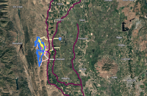
Graphic Site Project File
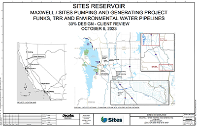
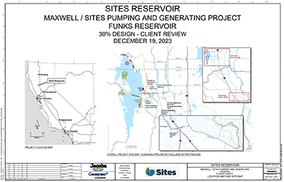
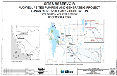
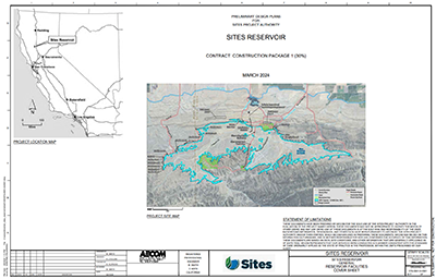
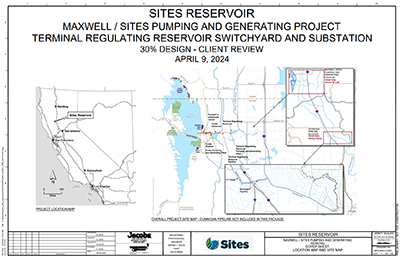
The .kmz file graphically represents the Sites Reservoir Project features based on the 30% design. These locations may be adjusted upon further field investigations and design development. This file provides a visual overview of the project and helps understand the proposed features’ layout and scope. (To use the .kmz file, you must download it to your computer and open it through Google Earth or another GIS program.)
How to open the file in Google Earth